|
AWRA Alaska Northern-Region Meetings
June 25,
2015 Eric Stevens, MS - The
High Latitude Satellite Proving Ground, and What it Means for Weather
and Water Forecasting in Alaska, Geographic
Information Network of Alaska (GINA) The
High Latitude Satellite Proving Ground, and What it Means for Weather
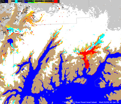
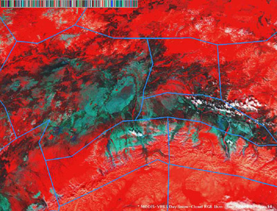
and Water Forecasting in Alaska Eric Stevens, MS The next few years will be an exciting time for meteorologists and hydrologists in Alaska, as a new generation of polar orbiting and geostationary orbiting satellites is soon to be launched. These satellites represent a substantial improvement over previous satellites--the data and imagery they deliver will offer upgraded spatial and temporal resolution, as well as a vastly expanded number of spectral bands used by the satellites' imagers. These new satellites and their instruments will be described, and examples of imagery and products from this new generation of sensors will be presented, with an emphasis on their utility in the monitoring and forecasting of meteorological and hydrological processes in Alaska.
|

